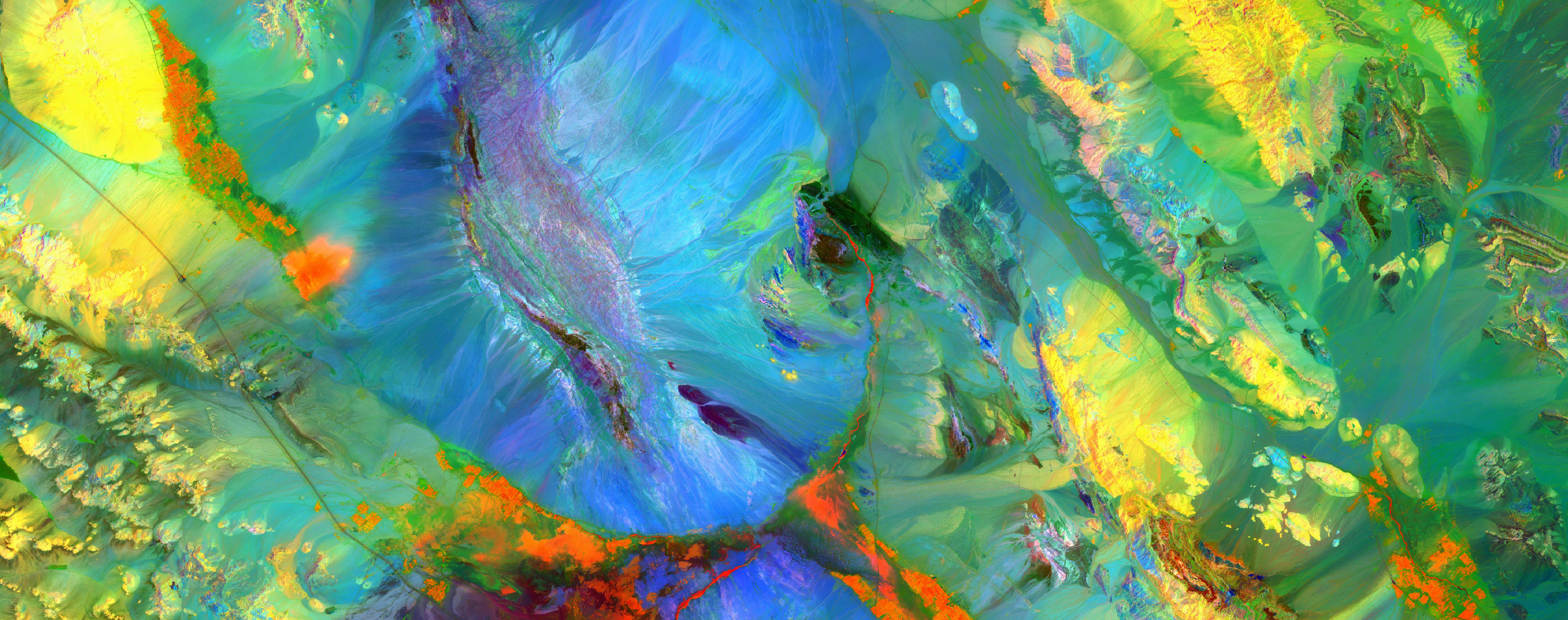
Fire prevention and ecoforestry mapping Mauritania
Fire prevention and ecoforestry mapping Mauritania

Water for Iraq
Web documentary by Sylvie Boulloud and Jade Tordo about the water shortage issue in Iraq - 2018
More details
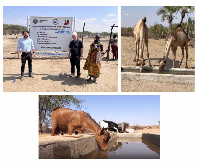
CLUSTER OF PROSPERITY FOR 3,000 PEOPLE & CATTLE IN KADINYANGOLE - KENYA (2022)
Development of the first cluster of prosperity in Turkana county - Kenya, making possible food and water security for...
More details

RTI and WATEX™ inducted at the 2016 Space Technology Hall of Fame®
Presentation movie of the 2016 Space Technology Hall of Fame® inductees.
More details
Prospecting Water from Space
A portrait of the career path of Dr. Alain Gachet - December 2021
More details
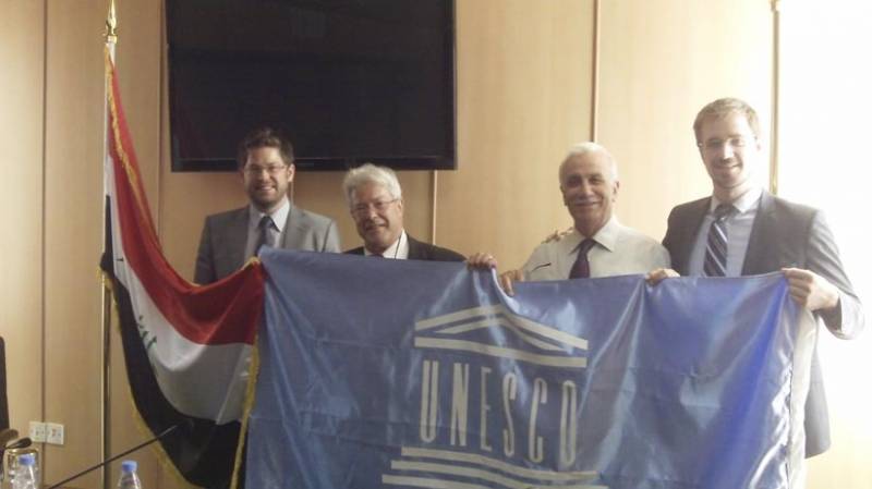
THE WATEX™ SYSTEM FOR POST-WAR RECONSTRUCTION IN IRAQ (2011-2018)
The central Government of Iraq - via the EU and the KRG - engaged RTI to make a national inventory of shallow and...
More details

Satellites guide aid workers sinking water wells for African refugees
The use of satellite imagery as key data to produce groundwater targets maps of Chad/Sudan areas - September 2004
More details
RTI EXPLORATION is a global leader in the exploration sciences. We provide clients with the expertise and technology they need to discover and develop critical resources, from minerals and metals to groundwater and energy resources. Our team of highly experienced professionals has a proven track record of success in locating and developing some of the world's most important resources. Areas of expertise:
- Mining exploration Mauritania
- Fossil energy exploration Mauritania
- Groundwater exploration Mauritania
Our technologies can be adopted independently or combined together into an integrated solution, ready for execution project development master plan:
- WATEX™ : Precise Delineation of Groundwater Reservoirs down to 3 Km
- BAMEX™ : Uncovering the Optimal Mineral Potential to be Unlocked
- HEXUB™ : Accurate Delineation of Areas of Major Hydrocarbon Interest
- OSIRIS™ : Environmental Monitoring, Soil and Forest Classifications
Our services in the sector of
Mauritania
Our area of activity for this service
Fire prevention and ecoforestry mapping
Contact Us
