Environmental protection company Kenya
Environmental protection company Kenya

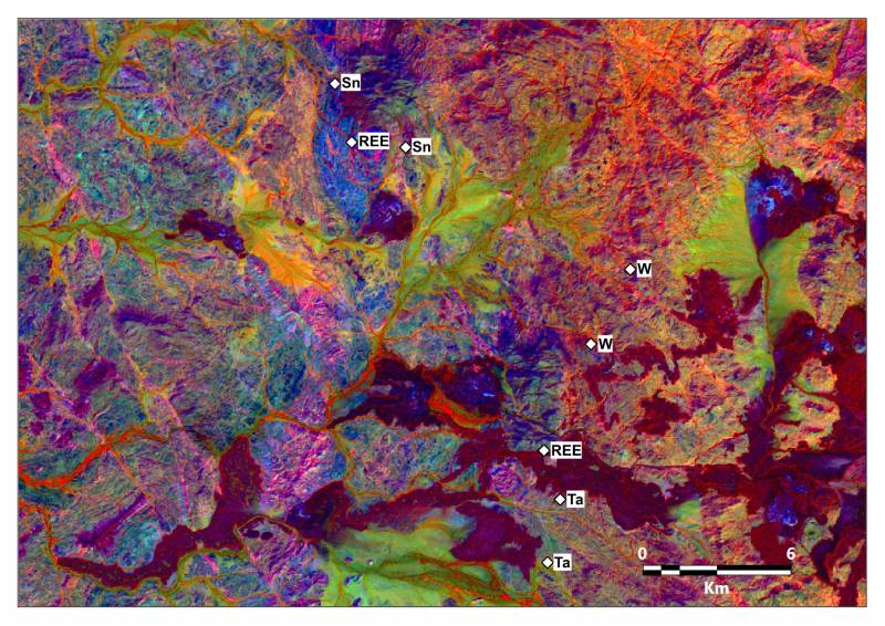
THE WATEX™ SYSTEM, THE SOLUTION TO OVERCOME WATER SUPPLY ISSUE FOR THE MINING INDUSTRY
The Gold and Rare Earths exploration in the southeast of the Aïr massif in Niger is heavily penalized by lack of water.
More details

Alain Gachet, un sourcier au secours de l'Afrique
Portrait of the founder of RTI and his major discoveries.
More details

Satellites guide aid workers sinking water wells for African refugees
The use of satellite imagery as key data to produce groundwater targets maps of Chad/Sudan areas - September 2004
More details

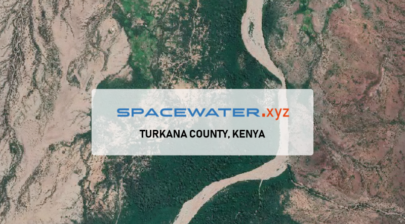
Borehole planning for industrial & community farming in KENYA (2022)
Hydroponics Africa, a company established in Letea region (Northern Kenya), called on RTI to plan the drilling of a ...
More details

"Mapear los acuíferos es la base para elaborar un plan estratégico"
A Spanish article about the great importance of mapping groundwater resources - December 2021
More details

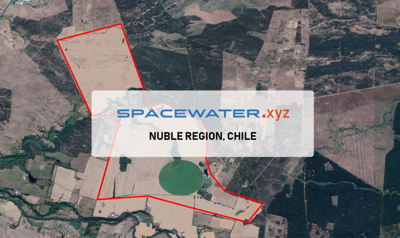
SPACEWATER.xyz™ : Application in Nuble region, CHILE (2022)
The Agricola Escorial company has requested RTI for two drilling points on their farm in Nuble region, Chile.
More details
RTI EXPLORATION is a global leader in the exploration sciences. We provide clients with the expertise and technology they need to discover and develop critical resources, from minerals and metals to groundwater and energy resources. Our team of highly experienced professionals has a proven track record of success in locating and developing some of the world's most important resources. Areas of expertise:
Our technologies can be adopted independently or combined together into an integrated solution, ready for execution project development master plan:
- WATEX™ : Precise Delineation of Groundwater Reservoirs down to 3 Km
- BAMEX™ : Uncovering the Optimal Mineral Potential to be Unlocked
- HEXUB™ : Accurate Delineation of Areas of Major Hydrocarbon Interest
- OSIRIS™ : Environmental Monitoring, Soil and Forest Classifications
Our services in the sector of
Kenya
Contact Us


