Fire Prevention & Ecoforestry to Contribute to Environmental Protection
WATEX™ Fire Prevention & Ecoforestry Mapping
At any scale, the WATEX™ Process results combined with climatic data reveal the forest fire risk areas. This makes possible informed investment decisions and proactive forest fire risk prevention.
Combined with RTI's enhanced soil and climate data, the solution reveals the most favorable areas to undertake eco-forestry. The results are optimized investments and protection of the aquifer recharge areas by reforestation.
Home |
WATEX™ Solutions |
WATEX™ Fire Prevention & Ecoforestry Mapping

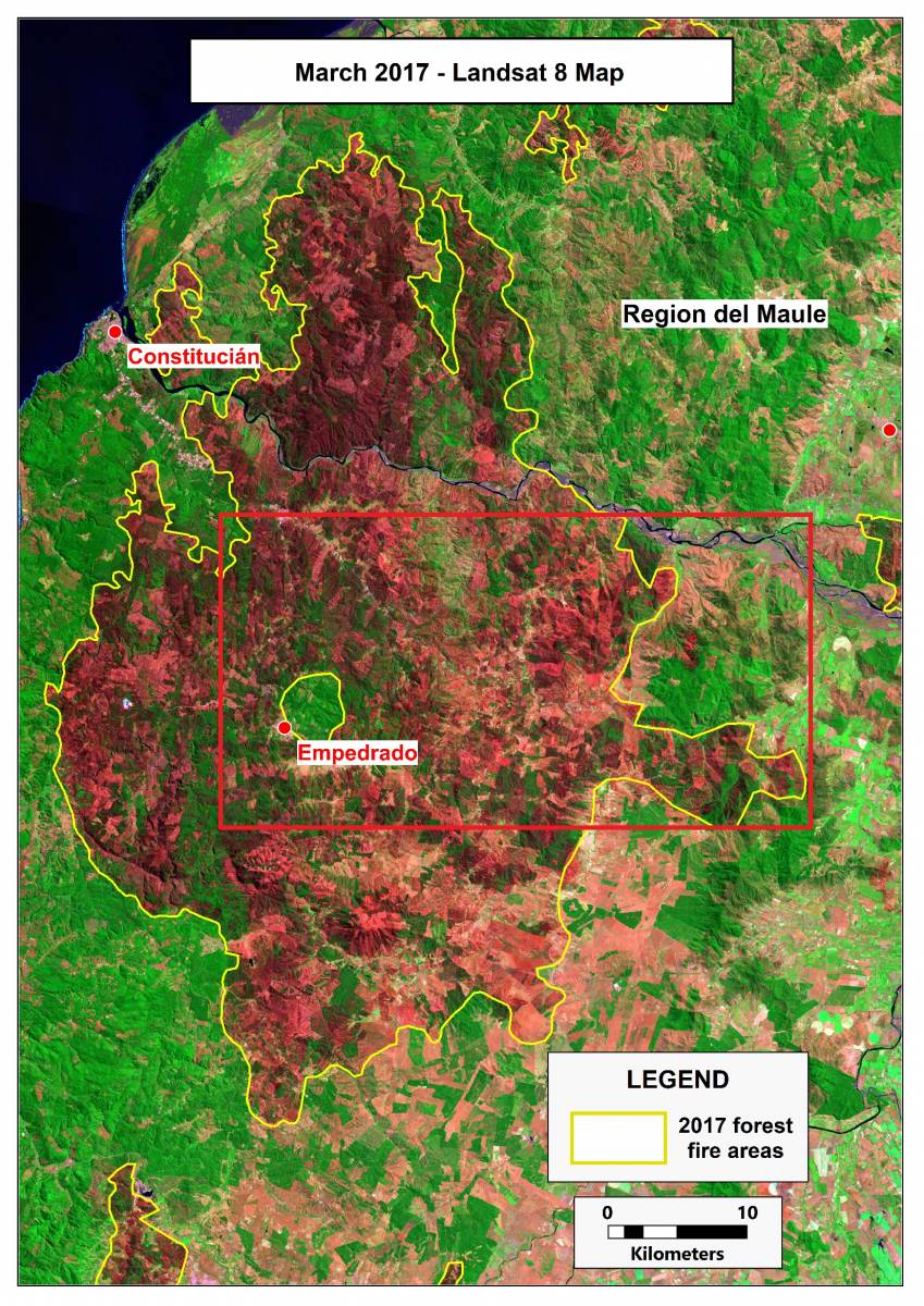
THE WATEX™ SYSTEM, A UNIQUE SOLUTION FOR ECOFORESTRY IN CHILE (2017)
The WATEX™ System: a unique solution for ecoforestry in Maule Region, Chile.
More details

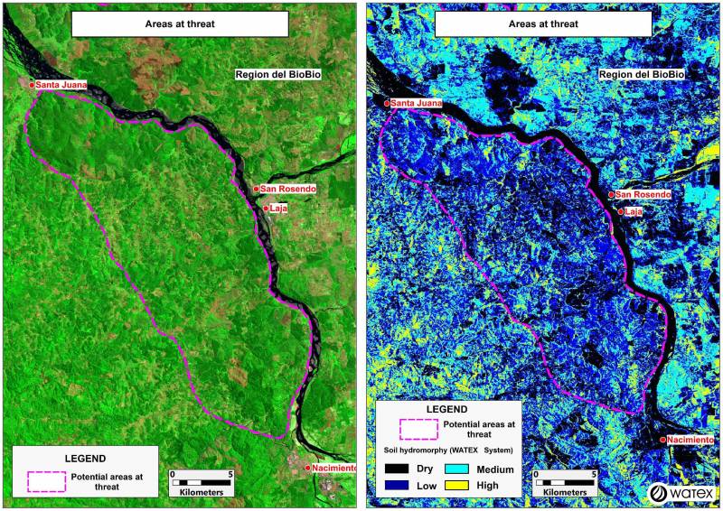
THE WATEX™ SYSTEM, A KEY TECHNOLOGY FOR FIRE PREVENTION IN CHILE
The WATEX™ Process mapping results indicate the location of areas exposed to forest fires in Bio Bio Region, Chile.
More details
Contact Us


