
THE WATEX™ SYSTEM, A TECHNOLOGY FOR SUSTAINABLE MINERAL AND HYDROTHERMAL EXPLORATION
WATEX™ Mineral & Hydrothermal Mapping
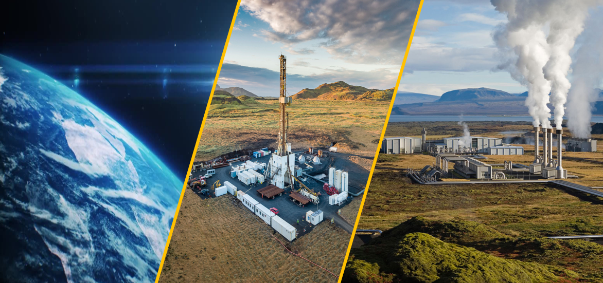
Clients' dataroom enriched with WATEX™ System results make possible powerful decision-making on the most adapted groundwater, green mineral and hydrothermal resources exploitable by the company.
Critical minerals like Lithium and Rare Earths as well as Geothermal development require the most sophisticated and pragmatic approaches to ensure security of supply, starting with the rapid and focused identification of unclaimed opportunities.
The unique GIS tools results offer actionable insight to reduce costs of underground resources exploration and development while preserving the environment with the relevant exploitation and preservation strategies on water, tailings pollution, communities and forest.
Home |
WATEX™ Solutions |
WATEX™ Mineral & Hydrothermal Mapping
")
THE WATEX™ SYSTEM, THE SOLUTION TO OVERCOME WATER SUPPLY ISSUE FOR THE MINING INDUSTRY
The Gold and Rare Earths exploration in the southeast of the Aïr massif in Niger is heavily penalized by lack of water.
More details
")
THE WATEX™ SYSTEM, A POWERFUL TECHNOLOGY FOR GEOTHERMAL EXPLORATION IN COSTA RICA
RTI is tracking and mapping areas of high hydrothermal interest using the WATEX™ Process all over the regions affected by specific recent tectonic events.
More details
")
THE WATEX™ MINERAL MAPPING SOLUTION FOR RARE EARTHS EXPLORATION IN MADAGASCAR (2010)
Remote sensing backed with geophysics and the RTI Database algorithms allows quick delineation of areas of mining interest.
More details
Contact Us
