Sustainable underground resources exploration Sudan
Sustainable underground resources exploration Sudan

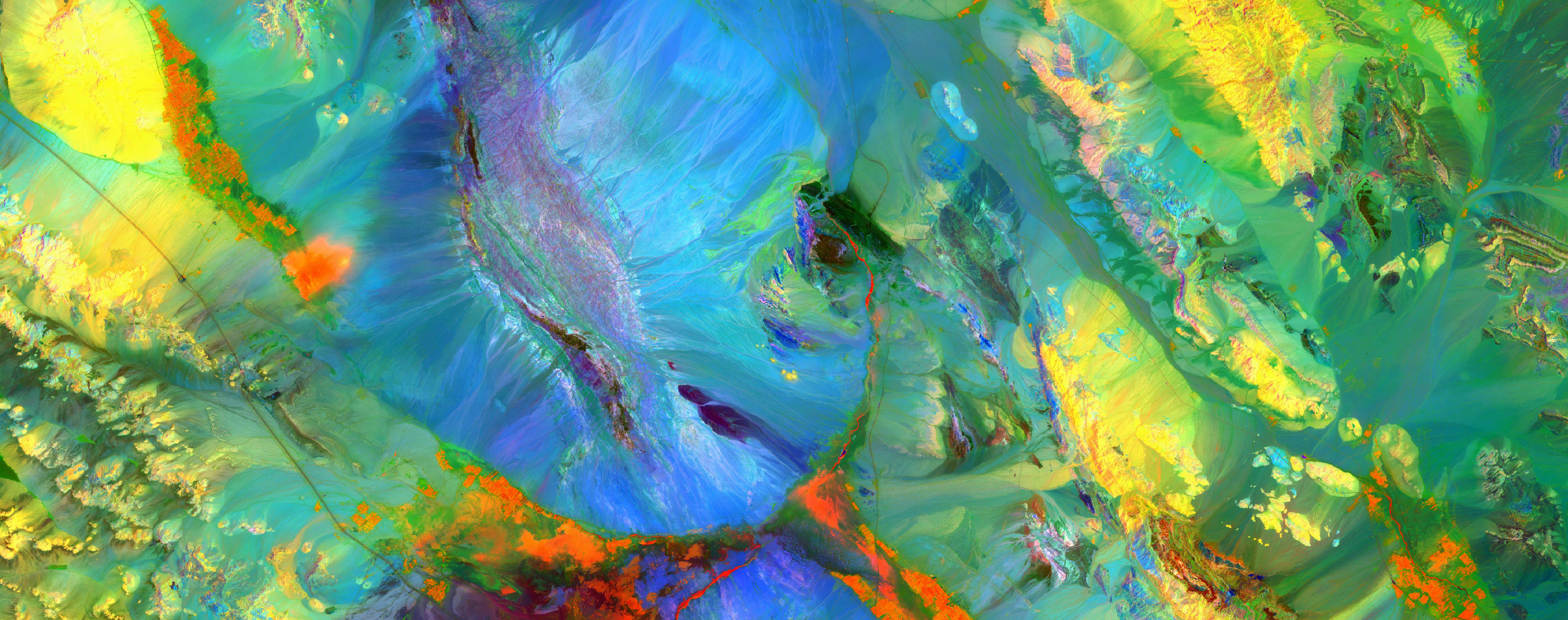
THE WATEX™ MINERAL MAPPING SOLUTION FOR RARE EARTHS EXPLORATION IN MADAGASCAR (2010)
Remote sensing backed with geophysics and the RTI Database algorithms allows quick delineation of areas of mining...
More details

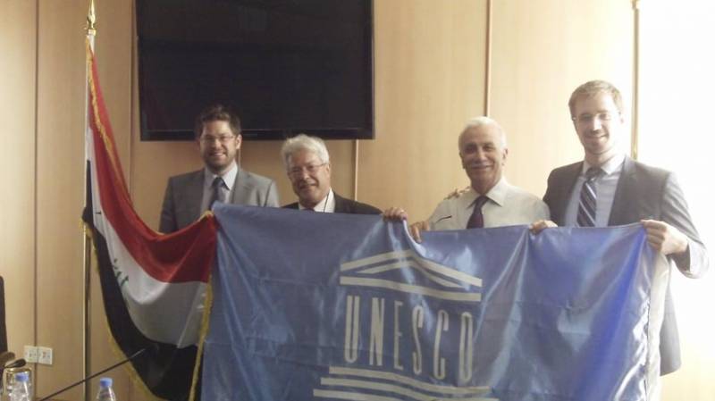
THE WATEX™ SYSTEM FOR POST-WAR RECONSTRUCTION IN IRAQ (2011-2018)
The central Government of Iraq - via the EU and the KRG - engaged RTI to make a national inventory of shallow and...
More details

Une nappe phréatique géante découverte dans l'aride Kenya
French article about the major discovery of the Lotikipi aquifer in Turkana County, North Kenya by RTI - December 2013
More details

Water Mapping Technology Rebuilds Lives in Arid Regions
The discovery in 2013 of new sources of groundwater in Turkana County, North Kenya - January 2015
More details

Alain Gachet creó un algoritmo que detecta aguas subterráneas profundas
A Spanish article following the Expo Agua congress in Santiago de Chile - October 13, 2022.
More details

Prospecting Water from Space
A portrait of the career path of Dr. Alain Gachet - December 2021
More details
RTI EXPLORATION is a global leader in the exploration sciences. We provide clients with the expertise and technology they need to discover and develop critical resources, from minerals and metals to groundwater and energy resources. Our team of highly experienced professionals has a proven track record of success in locating and developing some of the world's most important resources. Areas of expertise:
Our technologies can be adopted independently or combined together into an integrated solution, ready for execution project development master plan:
- WATEX™ : Precise Delineation of Groundwater Reservoirs down to 3 Km
- BAMEX™ : Uncovering the Optimal Mineral Potential to be Unlocked
- HEXUB™ : Accurate Delineation of Areas of Major Hydrocarbon Interest
- OSIRIS™ : Environmental Monitoring, Soil and Forest Classifications
Our services in the sector of
Sudan
Contact Us


