Home |
WATEX™ Solutions | WATEX™ Groundwater Mapping |
THE WATEX™ SYSTEM FOR POST-WAR RECONSTRUCTION IN IRAQ (2011-2018)
Back
WATEX™ Groundwater Mapping
THE WATEX™ SYSTEM FOR POST-WAR RECONSTRUCTION IN IRAQ (2011-2018)
CONTEXT
The WATEX™ System has been applied in a strategically urgent project: As Iraq endeavors to reconstruct its entire nation during this transitional phase, access to water is critical for the development of its rural areas, cities, agriculture and industries.
The central Government of Iraq - via the EU and the Kurdistan Regional Government (KRG) - engaged an international consortium comprising of three consultants, among them RTI, to make a national inventory of shallow and deep groundwater systems, at a national scale.
UNESCO had launched the first phase of the "Advanced Survey of Hydrogeological Resources in Iraq" (ASHRI) project in 2010. The second phase of the project was launched in 2013, ending officially in 2018.
WATEX™ ADVANCED GROUNDWATER MAPPING
Thanks to the use of WATEX™ Advanced groundwater mapping, the government report of 2017 (Advanced Survey of Hydrogeological Resources in Iraq, Phase II : ASHRI-2) revealed:
- Discovery of 64 multi-layered aquifers from 300 to 1,000 meters deep
- A long-term planning for agricultural and economic growth and development
- Post-war reconstruction opportunities
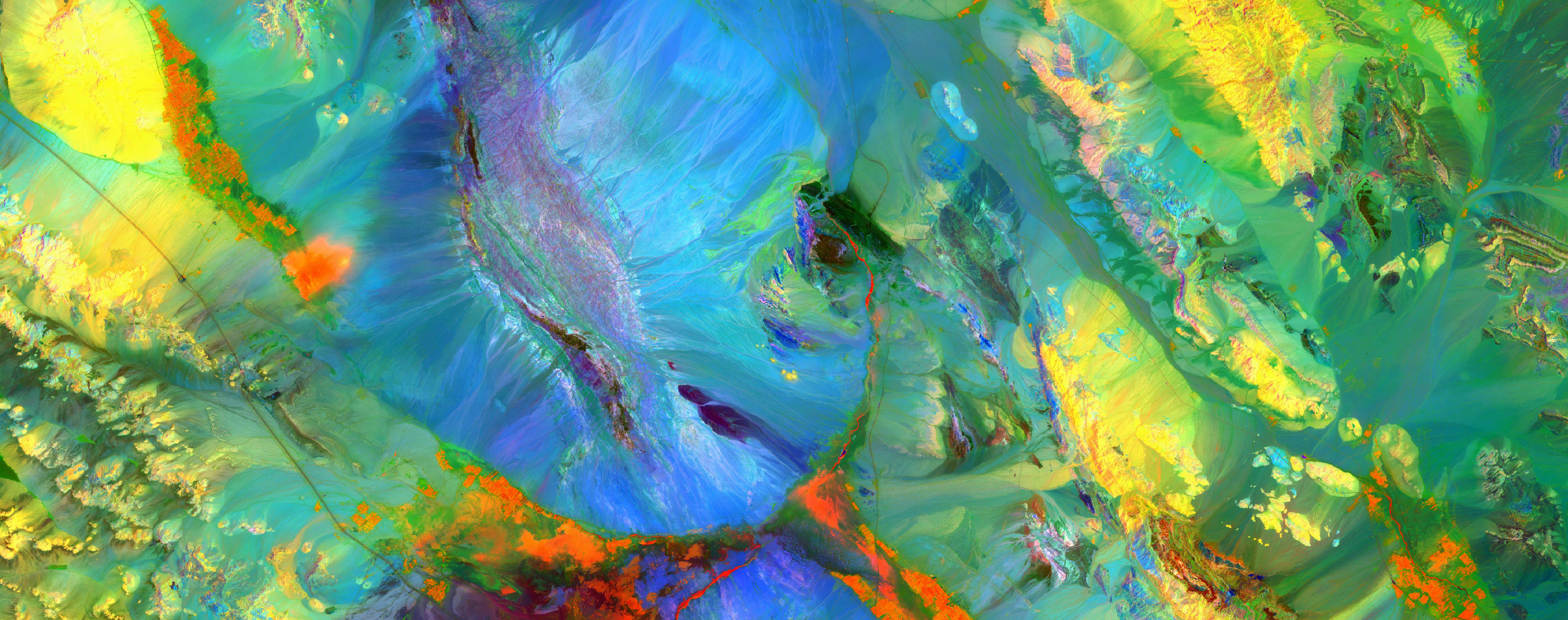
Right: The WATEX™ image of Iraq shows the thin signature of surface water along the Tigris and Euphrates Rivers, compared to the massive presence of groundwater in the Mesopotamian Basin and on the Eastern Zagros folded belt (yellow areas) and the deeper groundwater potential in the western part of the country (blue areas) (© RTI 2017).
RESULTS
The remarkable outcomes obtained from the WATEX™ study have exposed the most important deep groundwater systems in Iraq, which are evenly distributed throughout the country. These findings could facilitate the implementation of a decentralized approach to providing national groundwater supply to communities, ensuring water security for all.
They represent a strategic component of the total water resources supply of Iraq.
The assessment of groundwater resources of Iraq has only been made possible through the deployment of state-of-the-art techniques, delivering major outcomes.
The assessment of groundwater resources of Iraq has only been made possible through the deployment of state-of-the-art techniques, delivering major outcomes.
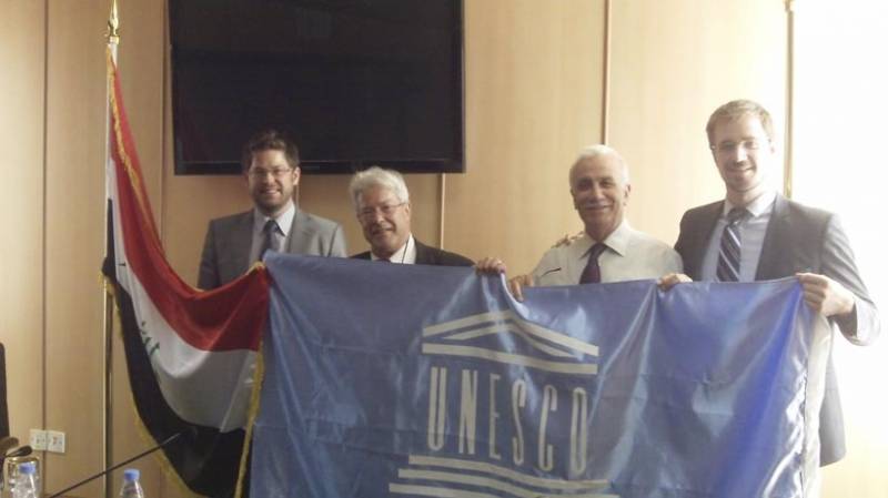
Find here an article about the official closing of the ASHRI-2 Project by EU, UNESCO Iraq Office and the Iraqi Ministry of Water Resources.
An interactive web-documentary by Sylvie Boulloud and Jade Tordo follows the ASHRI project on the ground and gives voice to the different experts (produced by Bambasi Prod. 2018). Watch the webdocumentary here.
An interactive web-documentary by Sylvie Boulloud and Jade Tordo follows the ASHRI project on the ground and gives voice to the different experts (produced by Bambasi Prod. 2018). Watch the webdocumentary here.
Left: Target n°15 struck in Bardarash, in Iraqi Kurdistan: confirmation of a deep aquifer at 300 meters with yields of 200 m3/hour. On this multi-layered aquifer, we can expect another one below at 900 m. (© RTI 2018)
Discover more details of our WATEX™ Groundwater Mapping projects and explore how we can provide assistance by contacting us today !
Contact Us


