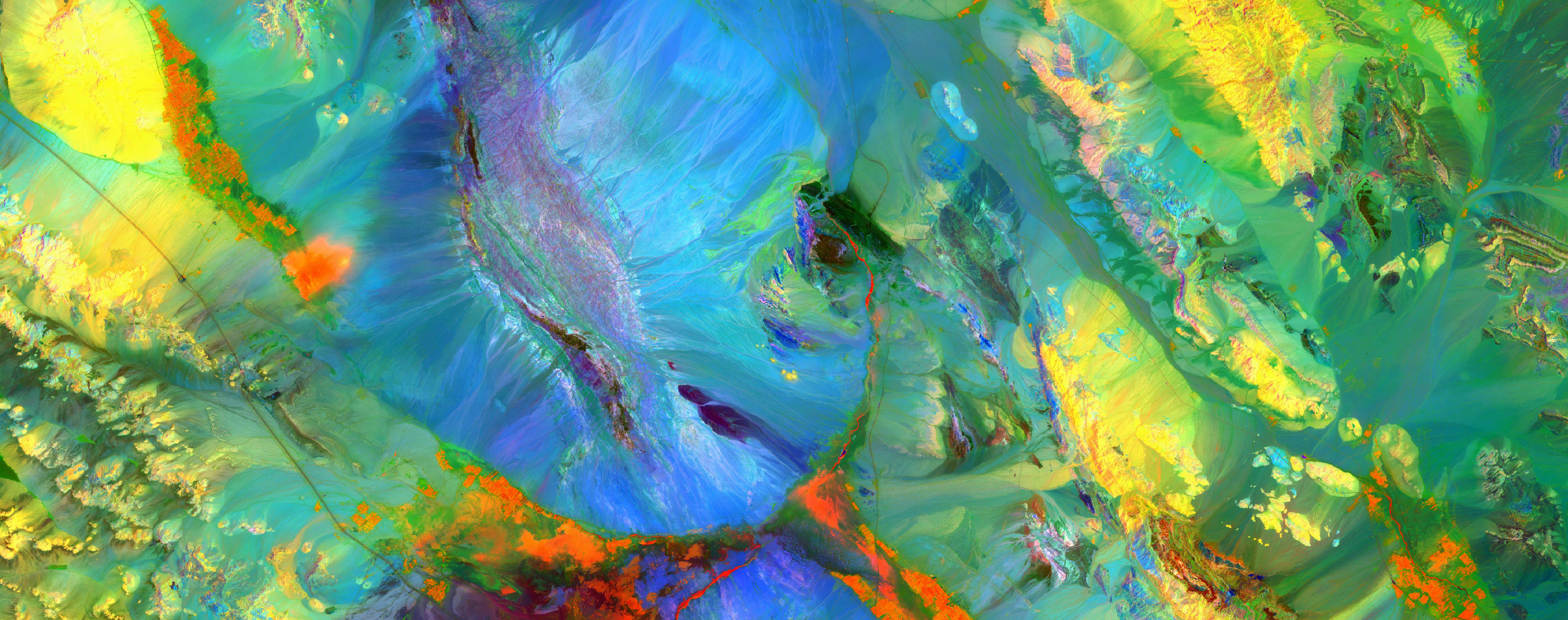
WATEX™ System: Advanced Groundwater Mapping Costa Rica
WATEX™ System: Advanced Groundwater Mapping Costa Rica

Africa’s Drought Problems Could Be Solved
The spectacular discoveries of three major aquifers in the Turkana County, Kenya
More details
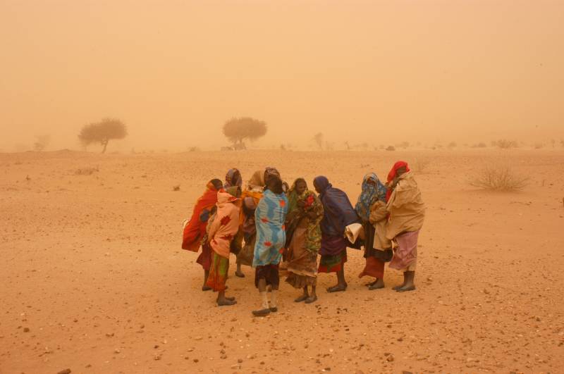
THE WATEX™ SYSTEM, A GROUNDBREAKING TECHNOLOGY FOR INTERNATIONAL AGENCIES TO FIND WATER FOR DARFUR REFUGEES IN CHAD (2005-2008)
Mapping Groundwater Potential with the WATEX™ System to identify new refugee camps supporting 30,000 persons per unit.
More details
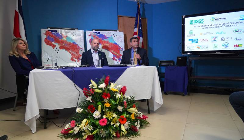
THE WATEX™ SYSTEM, AN INNOVATIVE TECHNOLOGY FOR NATURAL RESOURCES INVENTORY OF COSTA RICA (2018)
Use of the WATEX™ System in groundwater exploration and assessment in Costa Rica alongside the Ministry of E...
More details

Satellites guide aid workers sinking water wells for African refugees
The use of satellite imagery as key data to produce groundwater targets maps of Chad/Sudan areas - September 2004
More details

RTI and WATEX™ inducted at the 2016 Space Technology Hall of Fame®
Presentation movie of the 2016 Space Technology Hall of Fame® inductees.
More details
RTI EXPLORATION is a global leader in the exploration sciences. We provide clients with the expertise and technology they need to discover and develop critical resources, from minerals and metals to groundwater and energy resources. Our team of highly experienced professionals has a proven track record of success in locating and developing some of the world's most important resources. Areas of expertise:
- Mining exploration Costa Rica
- Fossil energy exploration Costa Rica
- Groundwater exploration Costa Rica
Our technologies can be adopted independently or combined together into an integrated solution, ready for execution project development master plan:
- WATEX™ : Precise Delineation of Groundwater Reservoirs down to 3 Km
- BAMEX™ : Uncovering the Optimal Mineral Potential to be Unlocked
- HEXUB™ : Accurate Delineation of Areas of Major Hydrocarbon Interest
- OSIRIS™ : Environmental Monitoring, Soil and Forest Classifications
Our services in the sector of
Costa Rica
Our area of activity for this service
WATEX™ System: Advanced Groundwater Mapping
Contact Us
