
Home |
WATEX™ Solutions | WATEX™ Groundwater Mapping |
THE WATEX™ SYSTEM, AN INNOVATIVE TECHNOLOGY FOR NATURAL RESOURCES INVENTORY OF COSTA RICA (2018)
Back
WATEX™ Groundwater Mapping
THE WATEX™ SYSTEM, AN INNOVATIVE TECHNOLOGY FOR NATURAL RESOURCES INVENTORY OF COSTA RICA (2018)
The WATEX™ System proved to be an innovative solution for the national inventory of shallow and deep groundwater resources of Costa Rica.
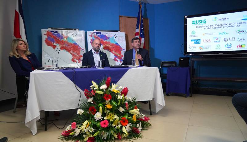
CONTEXTThis groundwater exploration and assessment project, requested by the Ministry of Environment and Energy (MINAE) and the U.S. Geological Survey (USGS), consisted of an in-depth remote sensing study, a hydrogeological assessment with modelling and a water management component.
Significant time was dedicated to building capacity and transferring technology to water experts in Costa Rica.
Following the WATEX™ study, the Government of Costa Rica and USGS report of 2019 revealed:-
Identification of all productive aquifers suitable for multiple uses,
-
Contribution to long-term planning for agricultural and economic growth and development,
-
Identification of suitable locations for groundwater recharge that can be utilized for the construction of micro-dams and irrigation projects,
- Discovery of new geothermal areas.
The potential aquifer maps generated in this project, through the WATEX™ System, will serve as a guide for Costa Rica in utilizing and developing the country's groundwater resources.
Find here an article in La NACIÓN (2019) about the presentation of the results of the "Groundwater resources assessment of Costa Rica" project with RTI and USGS, for the Costa Rican Ministry of Environment and Energy (MINAE).
The french director Sylvie Boulloud has followed the project from A to Z : watch the movie here (©Sylvie Boulloud, 2019).
The french director Sylvie Boulloud has followed the project from A to Z : watch the movie here (©Sylvie Boulloud, 2019).

THE WATEX™ SYSTEM, A GROUNDWATER TECHNOLOGY TO ALLEVIATE CLIMATE CHANGE
WATEX™ is a tool used to enhance resilience to climate change and promote industrial development while respecting the environmental constraints.
The rainforest and national parks play a critical role in the infiltration process that replenishes aquifers through the roots of vegetation and numerous fractures.
The rainforest and national parks play a critical role in the infiltration process that replenishes aquifers through the roots of vegetation and numerous fractures.
As it captures around 35 billion cubic meters of water annually, the Costa Rican rainforest is a crucial buffer zone that safeguards against soil erosion and runoff, thereby mitigating the risk of mudslides and floods.
Regardless of the geological substrate, the rainforest must be considered the most valuable hydrogeological asset of Costa Rica.
Learn more about our WATEX™ Groundwater Mapping projects and discover how we can assist your company by contacting us today!
Regardless of the geological substrate, the rainforest must be considered the most valuable hydrogeological asset of Costa Rica.
Learn more about our WATEX™ Groundwater Mapping projects and discover how we can assist your company by contacting us today!
Contact Us
