Groundwater resources Chile
Groundwater resources Chile

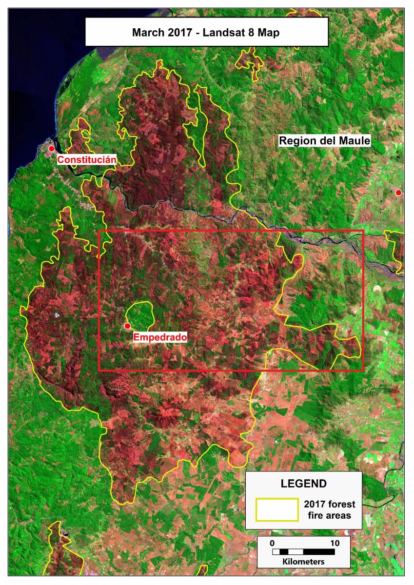
THE WATEX™ SYSTEM, A UNIQUE SOLUTION FOR ECOFORESTRY IN CHILE (2017)
The WATEX™ System: a unique solution for ecoforestry in Maule Region, Chile.
More details

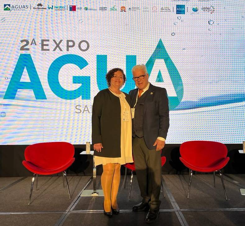
Report on the EXPO AGUA congress - CHILE
Report and photos of the Expo Agua Congress in Santiago de Chile, October 13, 2022.
More details

CHAMS MEDIA TV: Dr. Alain Gachet, The French Expert who discovered the Turkana Aquifers
CHAMS MEDIA documentary on RTI work in Turkana County, Kenya - 2021
More details

Space Provides Dividends to Earth
Ms. Garriott de Cayeux's choice of RTI as an inductee of the Space Technology Hall of Fame - April 2016
More details

Satellites guide aid workers sinking water wells for African refugees
The use of satellite imagery as key data to produce groundwater targets maps of Chad/Sudan areas - September 2004
More details

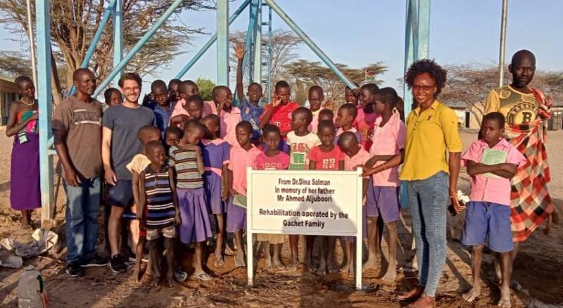
WATER REHABILITATION FOR 200 STUDENTS & 3,500 PEOPLE, KENYA (2022)
Water rehabilitation in Nakwaperit (Turkana county), Kenya, allowing thousands of people access to safe water and...
More details
RTI EXPLORATION is a global leader in the exploration sciences. We provide clients with the expertise and technology they need to discover and develop critical resources, from minerals and metals to groundwater and energy resources. Our team of highly experienced professionals has a proven track record of success in locating and developing some of the world's most important resources. Areas of expertise:
Our technologies can be adopted independently or combined together into an integrated solution, ready for execution project development master plan:
- WATEX™ : Precise Delineation of Groundwater Reservoirs down to 3 Km
- BAMEX™ : Uncovering the Optimal Mineral Potential to be Unlocked
- HEXUB™ : Accurate Delineation of Areas of Major Hydrocarbon Interest
- OSIRIS™ : Environmental Monitoring, Soil and Forest Classifications
Our services in the sector of
Chile
Our area of activity for this service
Groundwater resources
Contact Us


