Groundwater Exploration Company Australia
Groundwater Exploration Company Australia
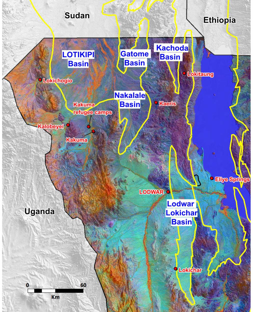
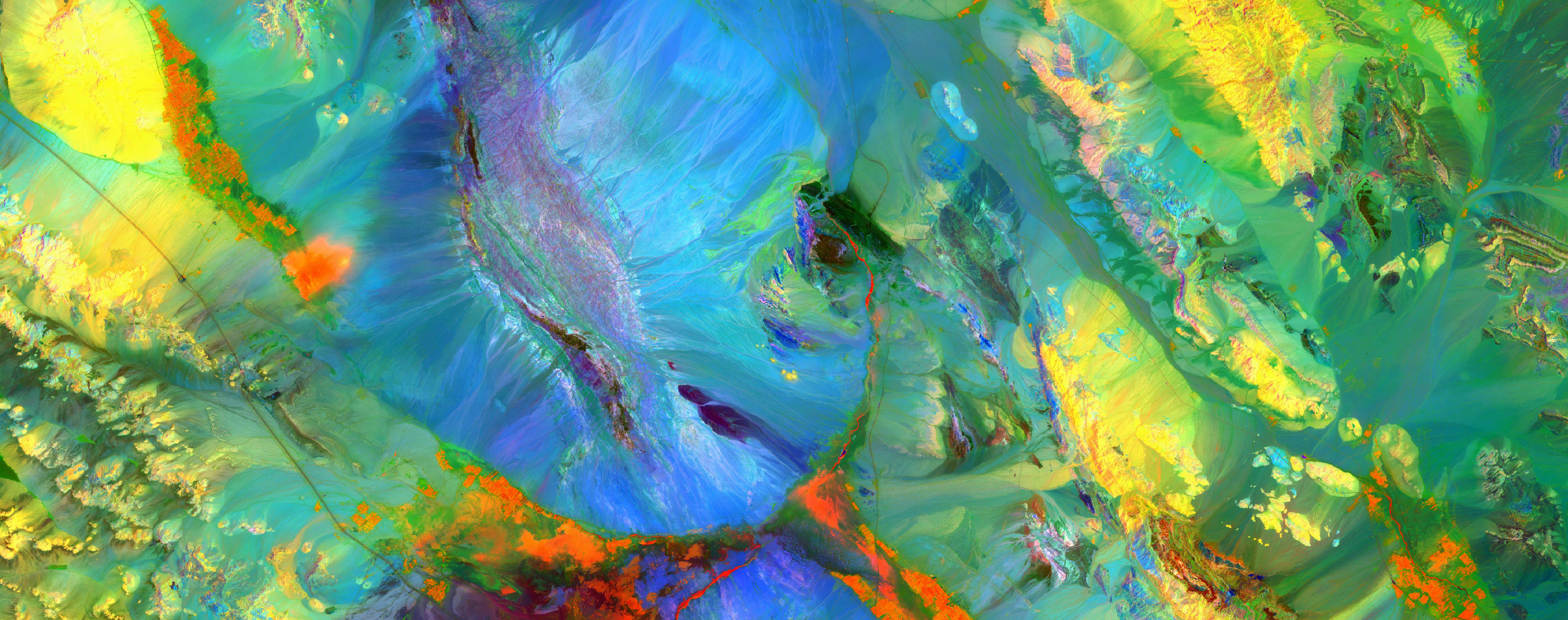
THE WATEX™ GROUNDWATER MAPPING SOLUTION ENABLING THE DISCOVERY OF GIANT GROUNDWATER RESERVES IN KENYA (2013)
Giant shallow and deep groundwater reserves discovery in Turkana, Kenya, during a survey carried by RTI on behalf of...
More details
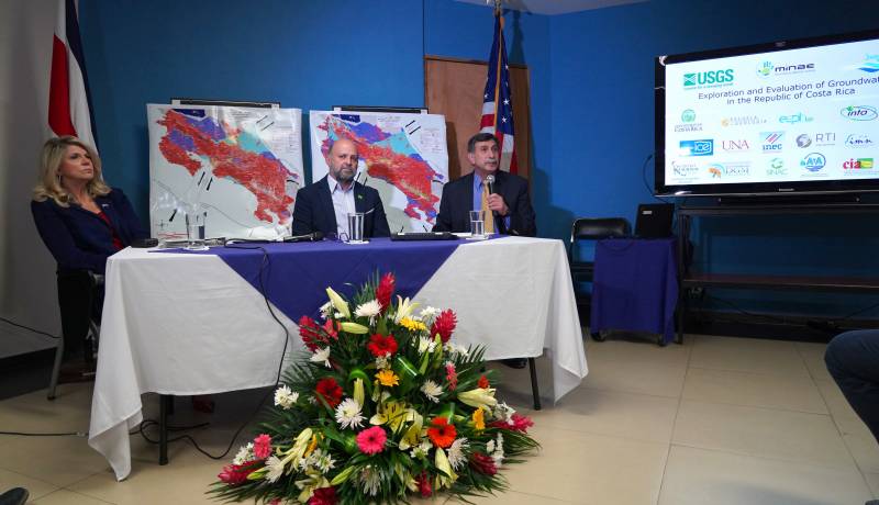
THE WATEX™ SYSTEM, AN INNOVATIVE TECHNOLOGY FOR NATURAL RESOURCES INVENTORY OF COSTA RICA (2018)
Use of the WATEX™ System in groundwater exploration and assessment in Costa Rica alongside the Ministry of E...
More details
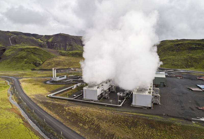
THE WATEX™ SYSTEM, A POWERFUL TECHNOLOGY FOR GEOTHERMAL EXPLORATION IN COSTA RICA
RTI is tracking and mapping areas of high hydrothermal interest using the WATEX™ Process all over the regions a...
More details

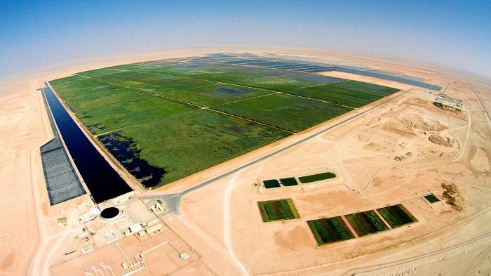
THE WATEX™ SYSTEM FOR SOIL EXPLORATION IN OMAN (PDO's NIMR REED BEDS, OMAN, 2007)
The WATEX™ System used for soil exploration in Oman, close to the Nimr Oil field.
More details
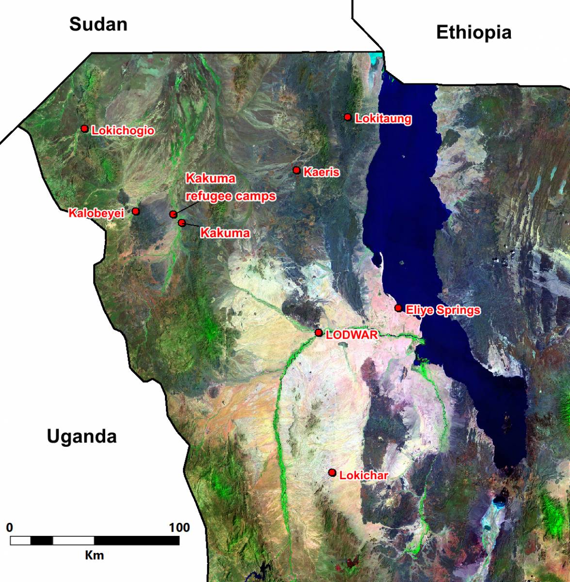
THE WATEX™ SYSTEM, A SOLUTION TO FIND WATER FOR KAKUMA REFUGEE CAMP IN KENYA (2012)
WATEX™ System applied in Kakuma, one of the biggest refugee camp in Africa with over 200 000 displaced individuals.
More details
RTI EXPLORATION is a global leader in the exploration sciences. We provide clients with the expertise and technology they need to discover and develop critical resources, from minerals and metals to groundwater and energy resources. Our team of highly experienced professionals has a proven track record of success in locating and developing some of the world's most important resources. Areas of expertise:
Our technologies can be adopted independently or combined together into an integrated solution, ready for execution project development master plan:
- WATEX™ : Precise Delineation of Groundwater Reservoirs down to 3 Km
- BAMEX™ : Uncovering the Optimal Mineral Potential to be Unlocked
- HEXUB™ : Accurate Delineation of Areas of Major Hydrocarbon Interest
- OSIRIS™ : Environmental Monitoring, Soil and Forest Classifications
Our services in the sector of
Australia
Contact Us
