
Home |
WATEX™ Solutions | WATEX™ Groundwater Mapping |
THE WATEX™ SYSTEM, A KEY TOOL FOR INTERNATIONAL AGENCIES TO FIND WATER FOR DARFUR REFUGEES IN SUDAN (2005-2008)
Back
WATEX™ Groundwater Mapping
THE WATEX™ SYSTEM, A KEY TOOL FOR INTERNATIONAL AGENCIES TO FIND WATER FOR DARFUR REFUGEES IN SUDAN (2005-2008)
CONTEXT
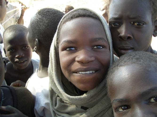
Mandated by the international agency USAID and supervised by the USGS, RTI has applied the WATEX™ System to recommend optimal drilling locations. Water is one of the most serious concerns in Darfur as the area is extremely dry with almost no surface water.
Water trucking is extremely expensive, inefficient and often dangerous. Finding water is a top priority for delivering 15 litres a day per person.
With heat rising to 50°C and lack of water, there have been intermittent clashes between local people over the scarce resource, which underlines the importance of finding freshwater supplies.

FINDING GROUNDWATER FOR 3 MILLION PEOPLE WITH THE WATEX™ SYSTEM
The successful identification and drilling of 1,800 wells since 2005, with a drilling success rate of 98%, was key to delivering water to the region.
The groundwater maps produced through the WATEX™ study, which were originally employed to assist refugees, can now also aid Sudanese farmers. In 2005 and 2008, with contributions from USGS and the U.S. Department of State, this project contributed to the survival of 3 million people within camps for the internally displaced in Sudanese Darfur.
The ability to rapidly identify optimal drilling locations of the WATEX™ System was a game changer during this humanitarian crisis.
PRESS COVERAGE
“This process saves huge amounts of time and money and alleviates the risk levels, avoiding millions of US$ per weeks for trucking water and drilling dry wells.” (UNHCR report in 2005)
Contact us to learn more about our WATEX™ Groundwater Mapping projects.
Contact Us
